
When a project is moving forward, the last thing anyone wants is to be stopped by an unexpected hit on an underground utility line. One strike can shut everything down, create dangerous conditions, rack up costly repairs, and create significant project delays. Unfortunately, utility strikes happen hundreds of thousands of times a year, many of which could have been avoided.
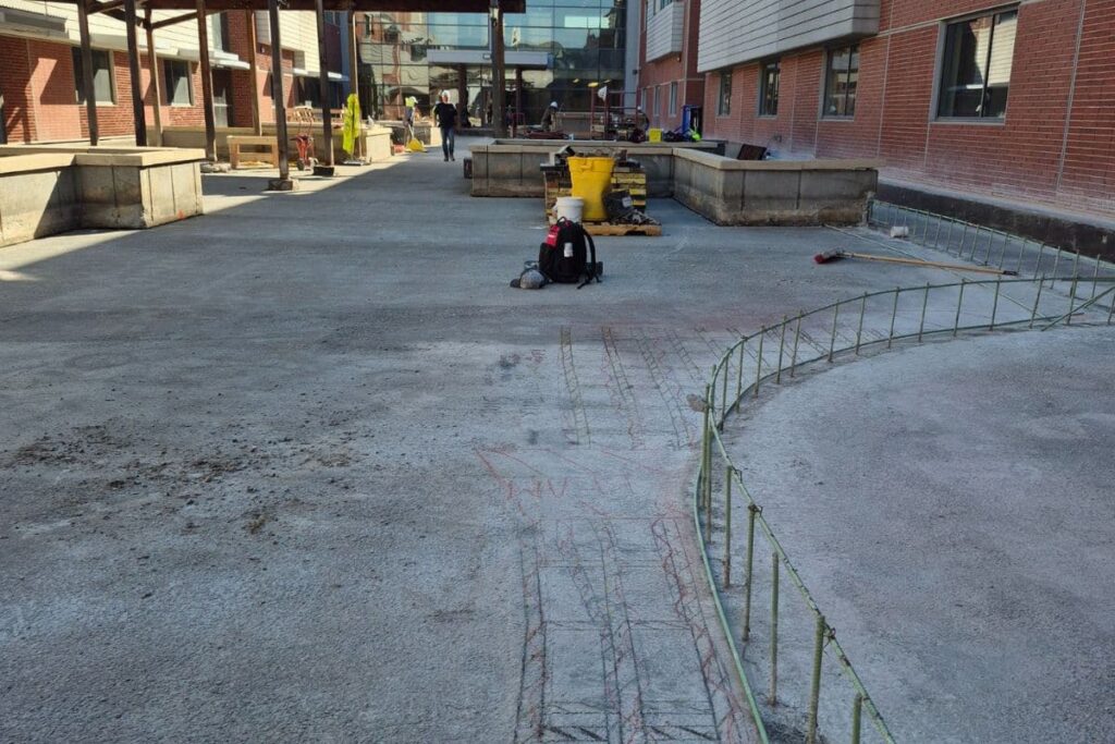
That’s where utility mapping comes in. As Ground Penetrating Radar (GPR) specialists, our team at Echo GPR helps contractors, engineers, and facility owners better understand what’s happening beneath their project sites. Utility mapping has quickly become one of the most valuable tools for safe, efficient, and predictable excavation.
In this article, we’ll break down what utility mapping actually is, why it matters, and how it reduces the risk of utility strikes while improving site safety from day one.
What Is Utility Mapping?
Utility mapping is the process of locating and documenting underground utilities. This process uses non-invasive technologies such as Ground Penetrating Radar (GPR) and electromagnetic locating equipment. These tools help identify buried infrastructure, such as:
- Electrical lines
- Water and sewer pipes
- Gas lines
- Communication cables
- Fiber optics
- Storm drains
- Abandoned utilities and unknown targets
Instead of guessing where utilities may be or relying solely on outdated records, utility mapping creates an accurate, real-time picture of what exists underground.
The goal is to help reduce risk, improve safety, and prevent unexpected surprises. Utility mapping helps to support your project and plan ahead. This information is vital for excavators, horizontal directional drilling operators, general contractors, engineers, and anyone involved in digging or earthwork.

Why Utility Strikes Happen So Often
Even though most people know they should call 811 before digging, utility strikes still happen all the time. So what’s causing it?
Here are the most common reasons:
1. Outdated or Incomplete Utility Records
Unfortunately, paper maps, utility records, and archived drawings may be outdated. Utility reroutes, repairs, and undocumented installations create gaps that can mislead crews.
2. Unknown or Abandoned Lines
Many older cities have infrastructure that is decades old. And, some utilities may not have ever been documented, while others were abandoned in place.
3. Relying Only on 811 Locates
811 services are critical, but they typically only locate public utilities, not private ones. Private utilities account for a large share of what’s underground on commercial properties, campuses, residential developments, and industrial sites.
4. Human Error
Even a small error in measurement or markings can result in a costly strike.
5. Compressed Schedules
When deadlines loom, crews may take shortcuts without meaning to. A comprehensive utility map serves as an extra layer of protection, helping fill in the gaps and reduce uncertainty.

How Utility Mapping Prevents Utility Strikes
Utility mapping significantly increases jobsite safety. Here’s how it works in real-world field conditions.
1. Identifies Utilities With Far Greater Accuracy
GPR doesn’t rely on utility records; it reads the ground itself. This allows Echo GPR technicians to identify:
- The position and depth of utilities
- Material type differences (e.g., metal vs. PVC vs. concrete)
- Crossings and intersections
- Unknown or abandoned lines
Modern GPR systems can detect both conductive and non-conductive targets, enabling them to identify utilities that electromagnetic locators alone might miss. Using GPR in addition to traditional locating technologies in a lot of ways is a “belt and suspenders” approach. The result is a far more comprehensive and more reliable than traditional methods provide.
2. Reduces Guesswork During Excavation
One of the biggest causes of utility strikes is simple guesswork. When crews have only vague or conflicting information, they’re forced to make assumptions about where utilities may be.
Utility mapping takes that pressure off by providing:
- Real, confirmed underground locations
- Markings crews can trust
- Clear visual data and site plans
- Accurate depths so operators know how close they are
With better information, teams make better decisions and have safer digs.
3. Improves Communication Across the Jobsite
Miscommunication is a major contributor to job-site incidents. Utility mapping creates a shared resource that everyone on the project can use.
This leads to:
- Fewer misunderstandings during excavation
- Clear plans for subcontractors
- Better coordination between trades
- A safer work environment for all
When every team member understands what’s underground, the risk of accidents drops dramatically.
4. Provides Early Warnings About Complicated Areas
Some areas contain congested utility corridors or utility placements that differ from the original plans. Utility mapping pinpoints these high-risk zones early.
This gives project managers time to:
- Adjust designs
- Shift excavation paths
- Reroute utilities
- Plan alternative digging strategies
Proactive adjustments cost far less than emergency repairs after something goes wrong.
5. Helps Contractors Meet Safety and Compliance Standards
More municipalities, general contractors, and private owners now require GPR utility locating before excavation, and for good reason.
Utility mapping helps ensure compliance with:
- OSHA safety requirements
- Damage prevention standards
- Municipal dig-permit guidelines
- General contractor safety protocols
A safer job site means a more productive site, and GPR helps everyone stay on the right side of regulations.

The Ripple Effect: How Safer Sites Improve Projects Overall
Reducing utility strikes is a significant benefit, but the advantages of utility mapping go far beyond that.
- Fewer Delays: Utility strikes often shut down projects for hours or even days. Utility mapping helps avoid those roadblocks.
- Lower Costs: Emergency repairs, damage claims, and schedule delays can easily cost tens of thousands of dollars.
- Improved Crew Confidence: Field teams work more efficiently when they aren’t worried about what’s below their feet.
- Better Planning and Engineering: Accurate subsurface data leads to stronger project designs and smoother workflows.
- Enhanced Reputation: Contractors who prioritize safety stand out in competitive markets and build long-term client trust.
Why Choose Echo GPR for Utility Mapping?
At Echo GPR, we’ve spent more than two decades helping clients across Kansas City and the surrounding region get reliable underground data they can trust. Our team uses some of the most advanced Ground Penetrating Radar and utility locating equipment available today.
What sets us apart:
- Experienced, highly trained technicians certified by NULCA
- Detailed on-site markings and deliverables
- Accurate depth readings and utility paths
- Clear communication with your team
- Fast scheduling and quick turnaround
At Echo GPR, we don’t just hand you data; we help you understand exactly what it means so you can make safe, informed decisions.

Safe Digging Starts with Knowing What’s Underground
Utility mapping isn’t just a preventative step; it’s a critical part of creating safer, more efficient job sites. Whether you’re renovating a building, excavating for a new project, installing utilities, or planning directional drilling, investing in GPR utility mapping is one of the best ways to protect your crew, budget, and timeline.
If you’re ready to reduce risk and work with more confidence, the Echo GPR team is here to help.
Need utility mapping for an upcoming project? Contact Echo GPR today, and let’s make sure your site is safe before you dig.